Log in
All resources
Create a design
1,579 Free Artworks of Maps Of Africa
bibliothèque nationale de france
cartography
engraving
grabados
fondo antiguo
cartografía
cartografía, mapas | cartography, maps
áfrica
maps from the earth and its inhabitants, vol. xi
africa in the 1890s
17th-century people of africa
africa in the 1680s
historical images of mali
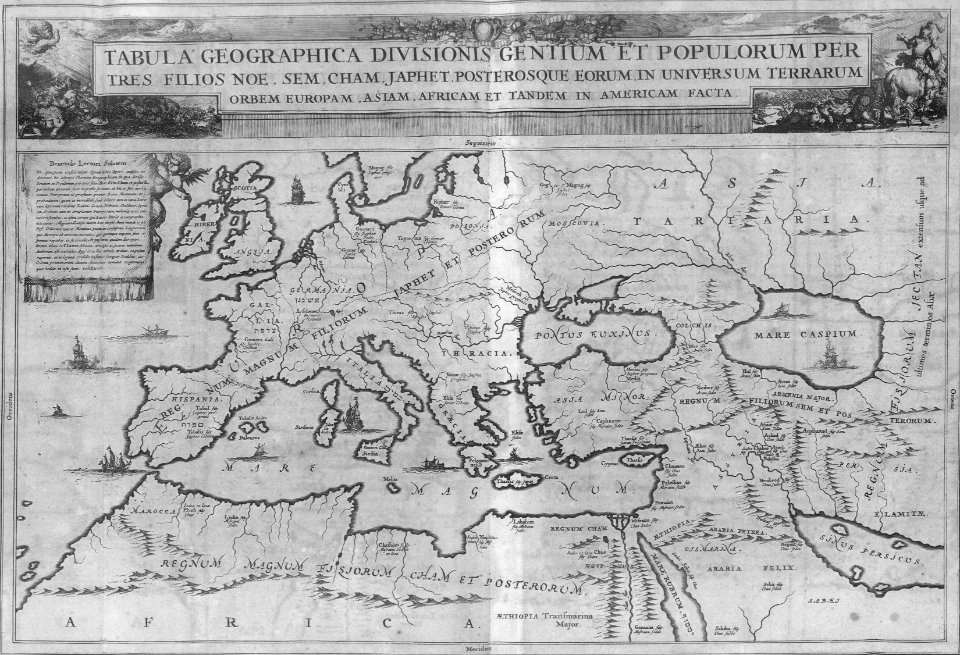
catalan atlas
maps of tangier by braun & hogenberg
maps of safi by braun & hogenberg
africa
maps
maps from the earth and its inhabitants, vol. xi
africa in the 1890s
africa
maps
arnold van langren map of southwest africa
renaissance
hendrik van langren map of south asia
1596 maps of asia
maps from the earth and its inhabitants, vol. xiii
1878 maps of africa
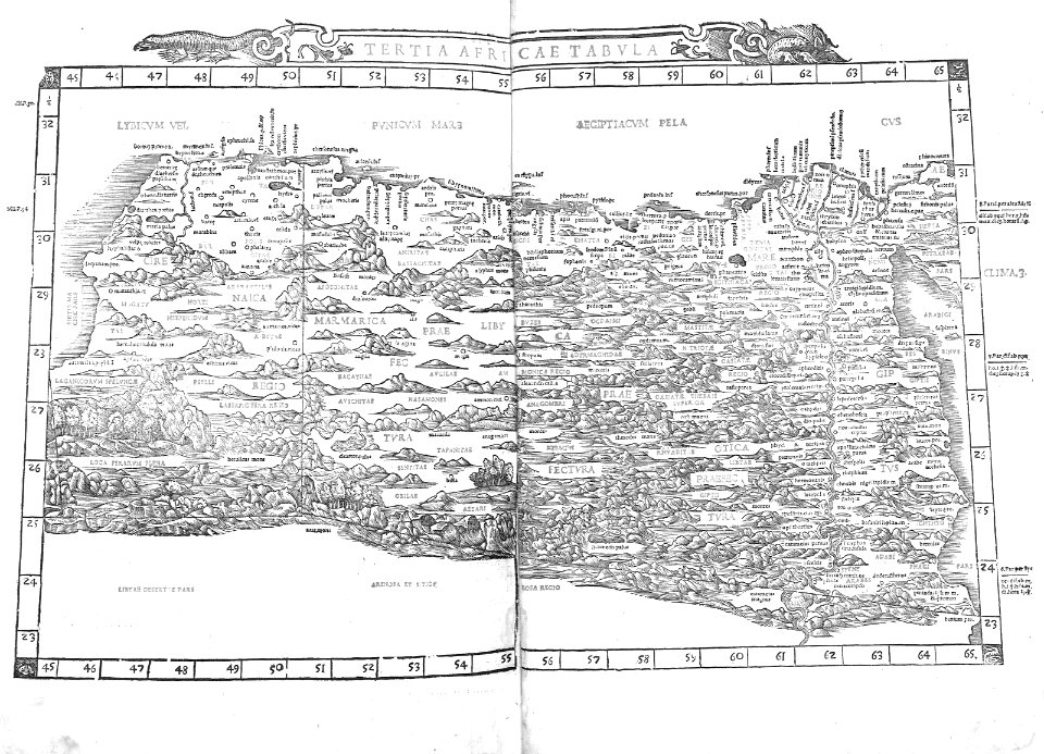
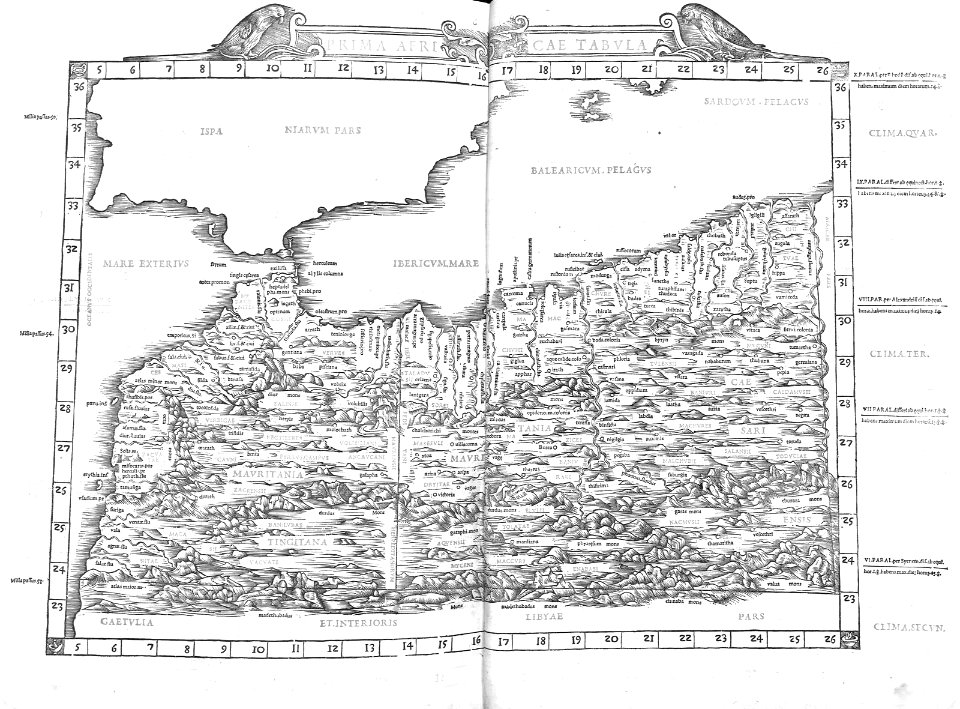
1574 maps of africa
1570s maps of egypt
a.de la motraye's travels through europe, asia, and into part of africa (1723) by la mottraye
realism
book covers from the british library mechanical curator collection
adolphe giraldon
picturesque journey to the two americas, asia and africa
lima in the 1840s
1660s maps of spain
1667 maps
the turkish empire in europe, asia and africa (1752)
istanbul in the 1730s
africa
maps
maps of the west-indische compagnie
1747 maps of africa
1690s maps of the caribbean
1690s maps of the americas
description de l'universe
1683 maps of africa
1570s maps of africa
1570s maps of egypt
le sénégal. la france dans l'afrique occidentale (1889)
orientalist painting
renold elstracke
renaissance
eran laor cartographic collection
emanuel bowen
africa
maps
africa
maps
the turkish empire in europe, asia and africa (1752)
cartouches by herman moll
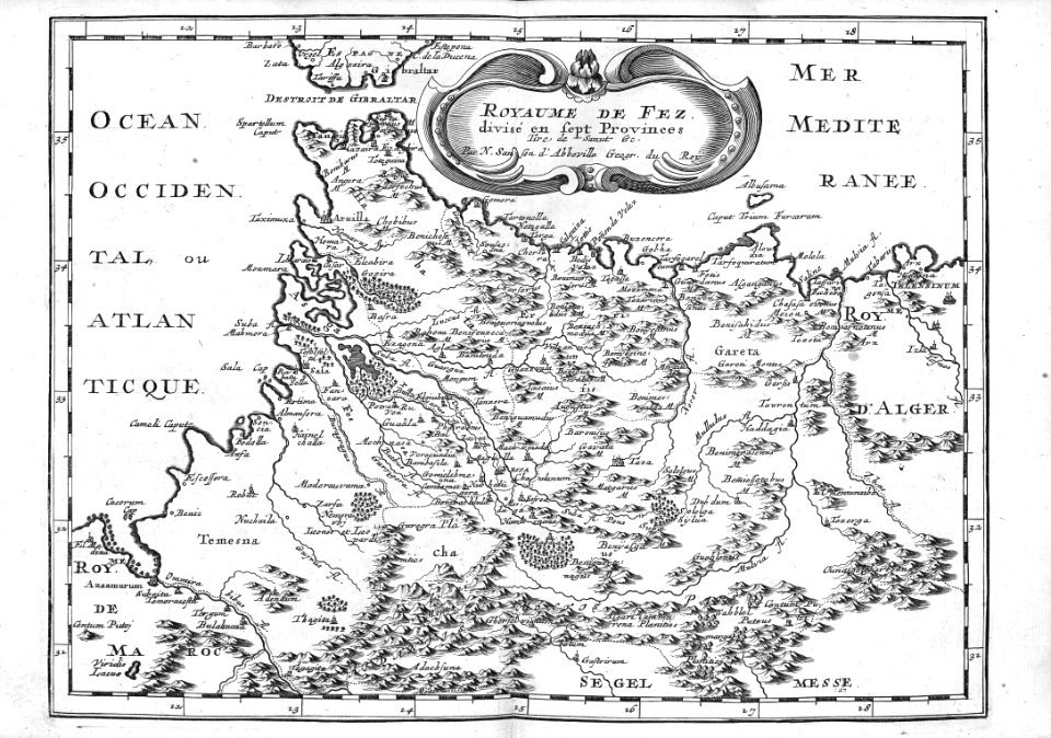
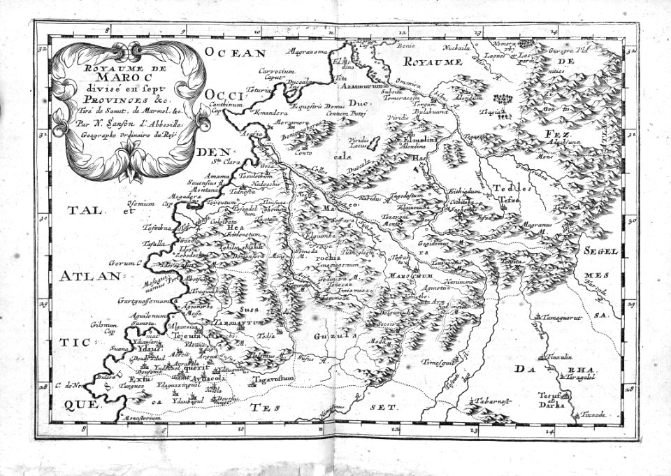
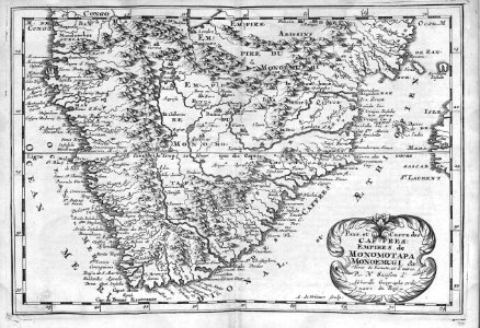
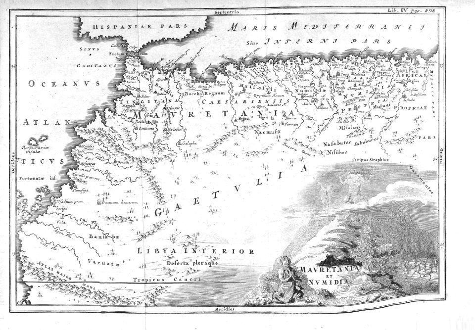
maps of the history of morocco
empire of morocco
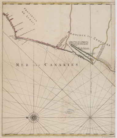
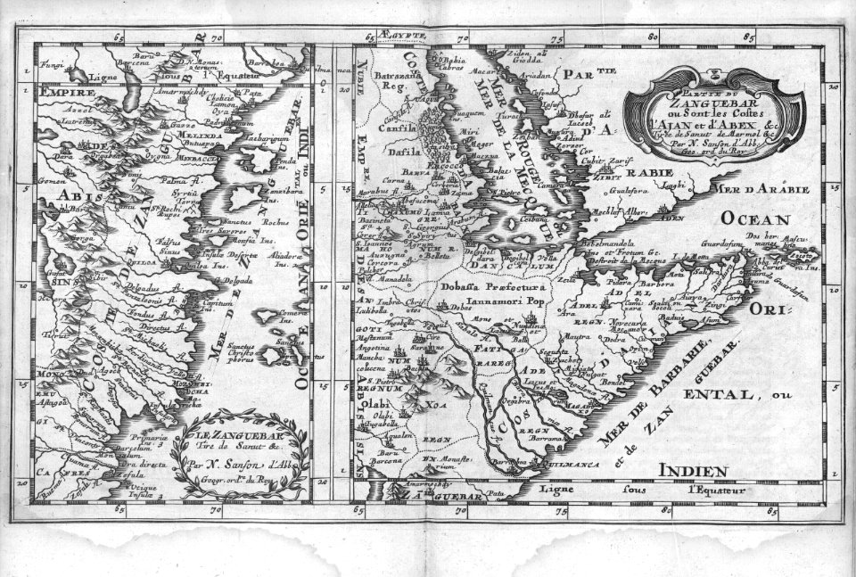
carte particulière des costes de l'afrique qui comprend le royaume de gualata ... - btv1b8595466g
maps by pieter mortier
carte particulière des costes de l'afrique qui comprend le royaume de gualata ... - btv1b8595466g
maps by pieter mortier
description de l'universe
old maps of the nile
1660s maps of spain
1667 maps
nouvelle géographie universelle
1887 maps of africa
africa
maps
africa
maps
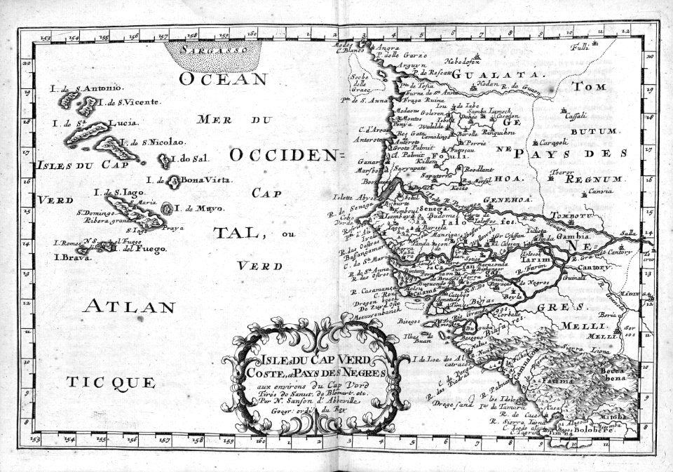
maps of the senegal river
1747 maps of africa
1630s maps of ethiopia
1635 maps of africa
maps from the earth and its inhabitants, vol. xi
africa in the 1890s
maps from the earth and its inhabitants, vol. xi
africa in the 1890s
maps from the earth and its inhabitants, vol. xi
africa in the 1890s
eran laor cartographic collection
william henry toms
africa
maps
africa
maps
cartography
maps
1660s maps of spain
1667 maps
atlas maior, vol 10 (spain and africa) - joan blaeu, 1667 - bl 114.h(star).10
1667 maps
africa
maps
jean-fréderic phélypeaux
guillaume dheulland
atlas maior, vol 10 (spain and africa) - joan blaeu, 1667 - bl 114.h(star).10
1667 maps
cartography
maps
africa
maps
africa
maps
the turkish empire in europe, asia and africa (1752)
jerusalem in the 18th century
cartography
maps
cartography
maps
a voyage to abyssinia, and travels into the interior of that country, executed under the orders of the british government in the years 1809 & 1810
john outhett
maps of the west-indische compagnie
1747 maps of africa
africa
maps
1565 maps of asia
niccolo nelli
maps from the earth and its inhabitants, vol. xi
africa in the 1890s
maps from the earth and its inhabitants, vol. xi
africa in the 1890s
bibliothèque nationale de france
1667 sanson map of africa
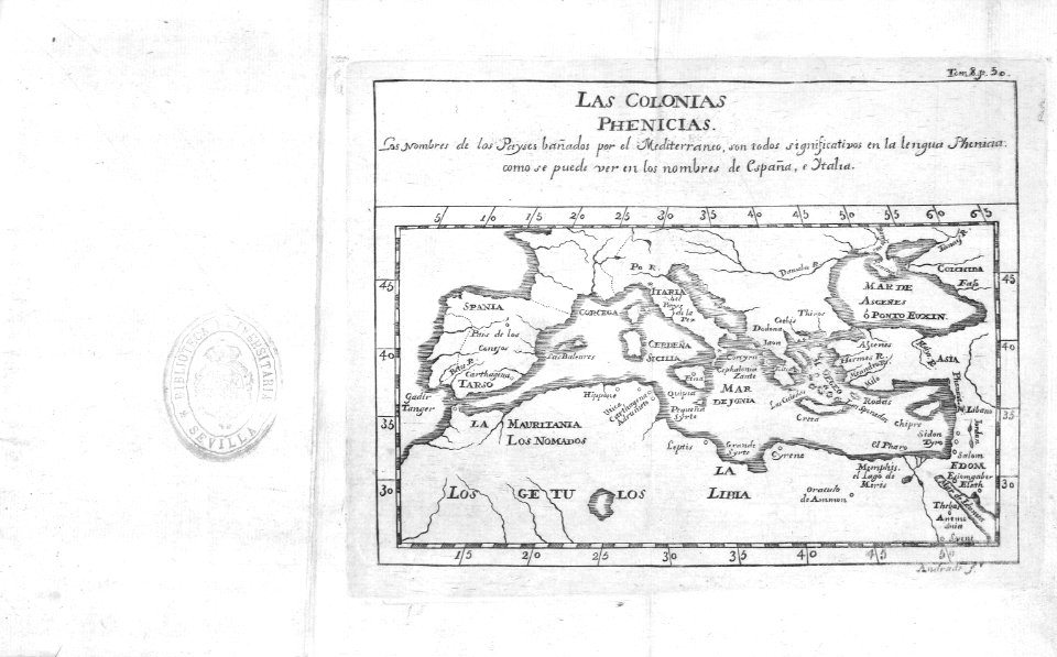
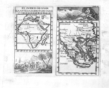
tresor des cartes geographiques (1659)
1659 maps of africa
1572 maps of africa
1570s maps of egypt
maps from the earth and its inhabitants, vol. xiii
somaliland
1770s maps of algeria
maps by tomas lopez
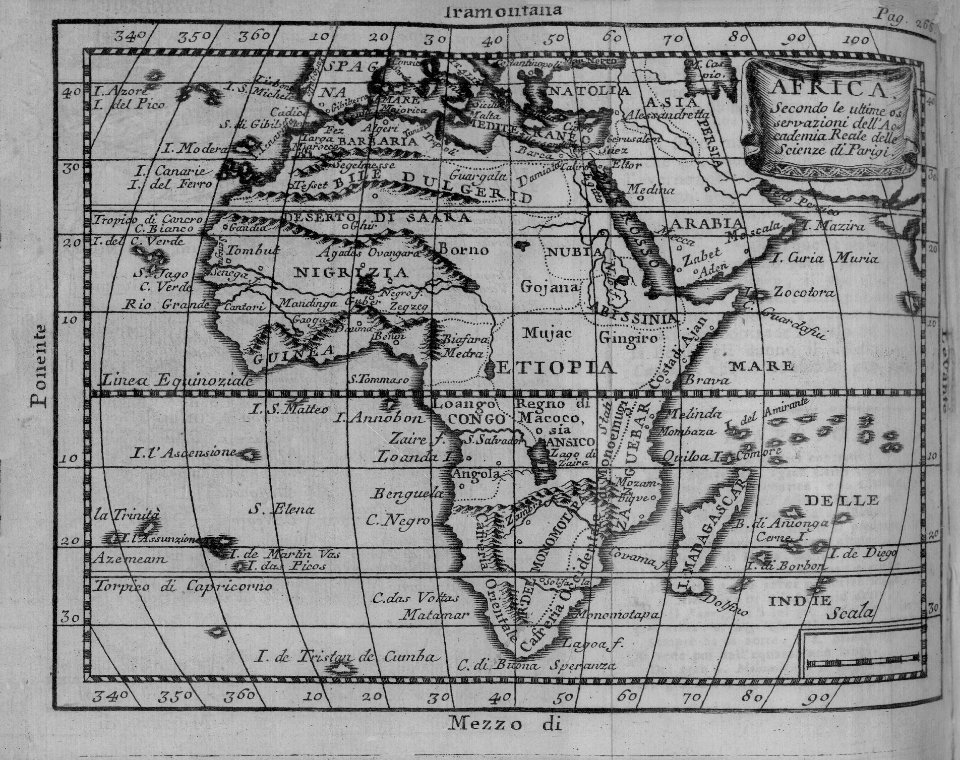
the earth and its inhabitants, vol. xii: africa, vol. iii
canary islands in the 1890s
africa
maps
africa
maps
maps from the earth and its inhabitants, vol. xii
1892 in nigeria
cartouches by willem and johannes blaeu
pieter goos
maps from the earth and its inhabitants, vol. xi
africa in the 1890s
maps from the earth and its inhabitants, vol. xi
africa in the 1890s
maps from the earth and its inhabitants, vol. xi
africa in the 1890s
maps from the earth and its inhabitants, vol. xi
africa in the 1890s
maps from the earth and its inhabitants, vol. xi
africa in the 1890s
maps from the earth and its inhabitants, vol. xi
africa in the 1890s
maps from the earth and its inhabitants, vol. xi
africa in the 1890s
maps from the earth and its inhabitants, vol. xi
africa in the 1890s
1570s maps of africa
1570s maps of egypt
maps from the earth and its inhabitants, vol. xi
africa in the 1890s
maps from the earth and its inhabitants, vol. xi
africa in the 1890s
maps from the earth and its inhabitants, vol. xi
africa in the 1890s
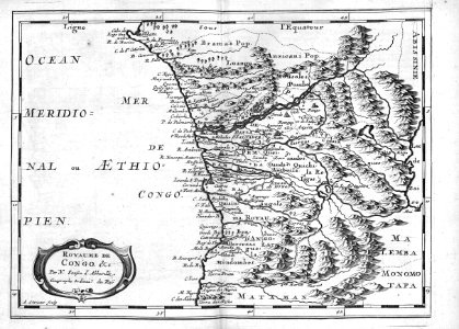
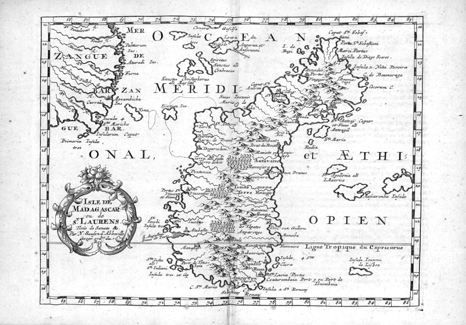
madagascar in the 17th century
description de l'universe
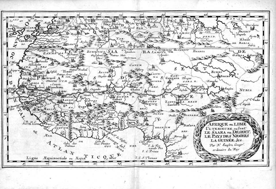
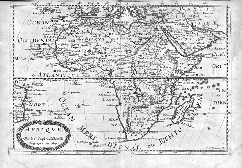
bibliothèque nationale de france
1667 sanson map of africa
bibliothèque nationale de france
1667 sanson map of africa
bibliothèque nationale de france
1667 sanson map of africa
bibliothèque nationale de france
1667 sanson map of africa
book covers from the british library mechanical curator collection
adolphe giraldon
bibliothèque nationale de france
1667 sanson map of africa
1890s maps of south africa
emil holub
17th-century maps of the mediterranean sea
ships on maps
africa
maps
1529 maps of africa
1529 maps of iran
german renaissance,northern renaissance
maps in the british museum
eran laor cartographic collection
william henry toms
atlas maior, vol 10 (spain and africa) - joan blaeu, 1667 - bl 114.h(star).10
1667 maps
eran laor cartographic collection
alexis-hubert jaillot
wilhelm pleydenwurff
hartmann schedel
description de l'universe
1680s maps of egypt
1870s maps of libya
ghadames
1101 - 1200 of 1,579
Next page
/ 16


![Treasure of geographical maps of the main states of the universe [...], 1659](https://cdn.creazilla.com/illustrations/10001227179/treasure-of-geographical-maps-of-the-main-states-of-the-universe-1659-md.jpg)